Rankin and 28 Fathom Banks
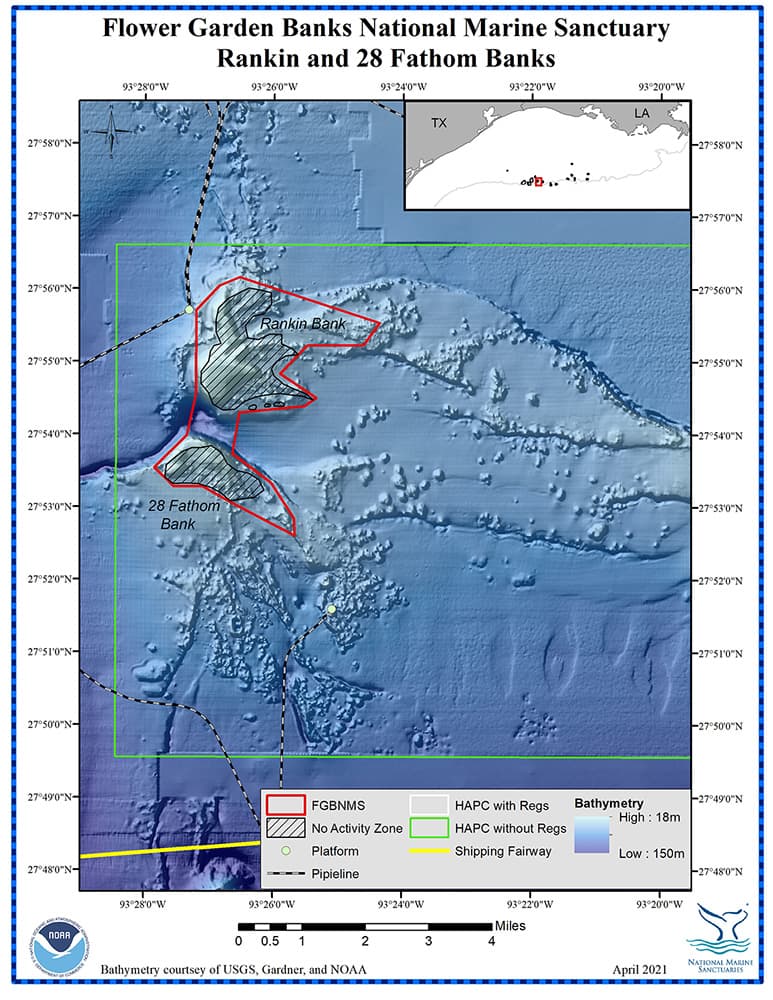
Bottom Depth Range: 164-571 feet (50-174 meters)
Distance from Land: 124 miles (200 km)
Area: 5.6 square miles (14.5 sq km)
Rankin and 28 Fathom Banks are located approximately 9.3 miles (15 km) due east of East Flower Garden Bank. They are physically connected to MacNeil Bank, to the north, via a ridge feature that continues on to East Flower Garden Bank.
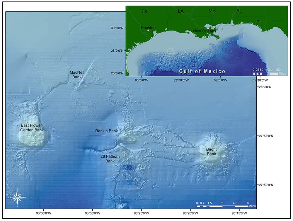
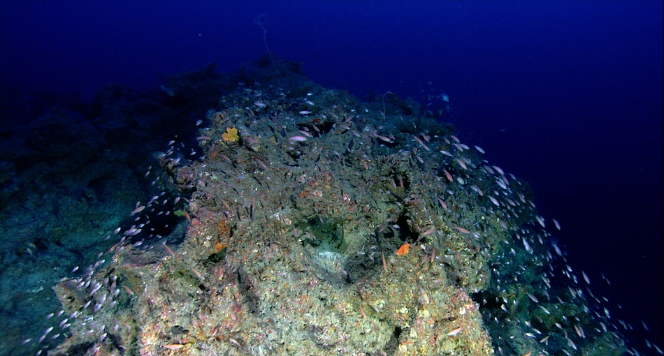
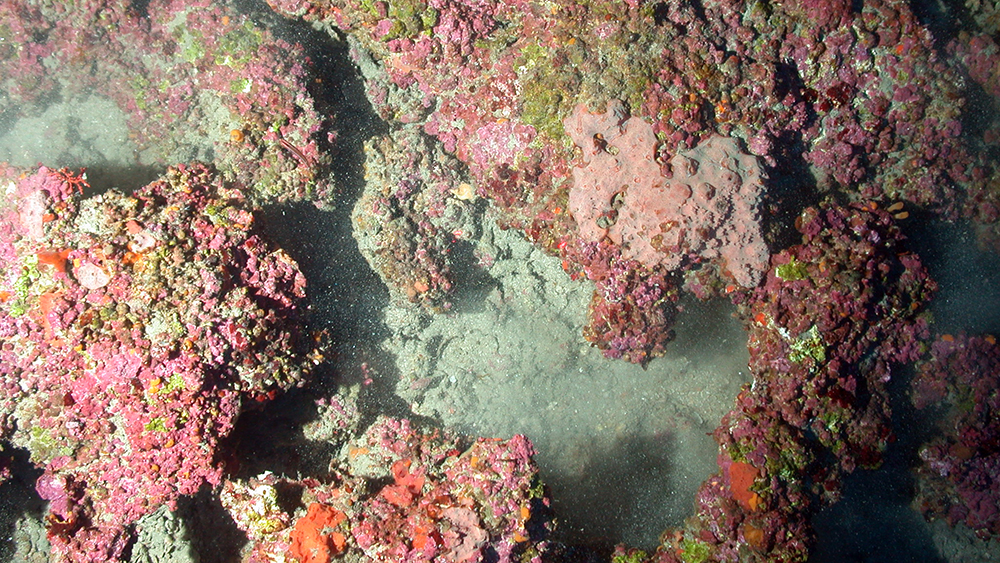
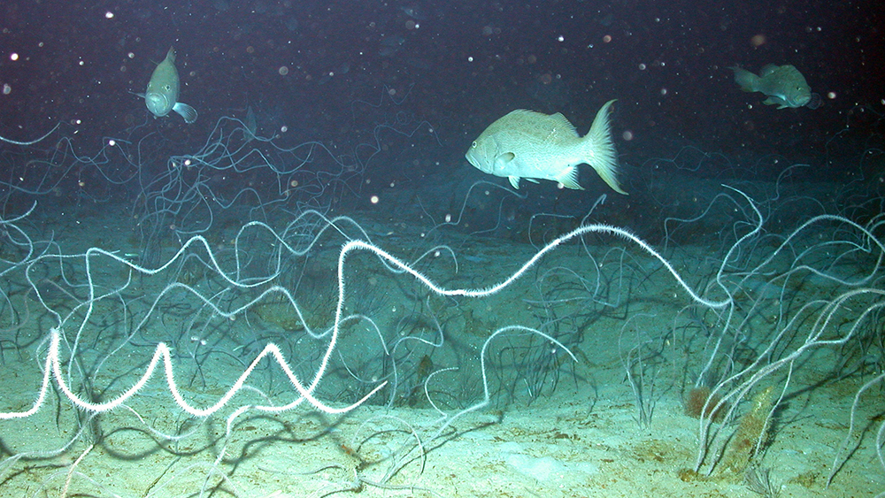
Rankin Bank is just north of 28 Fathom Bank. The two features are split by a 3,280 foot (1,000 m) wide trough, reaching down about 571 feet (174m). Rankin and 28 Fathom Banks are part of a Habitat Area of Particular Concern (HAPC) that also encompasses Bright Bank, and the extensive patch reefs in between the features. These reefs consist of black corals, octocorals, algae, sponges, stony corals, and a variety of invertebrates.
Rankin Bank is named after John L. Rankin of the Minerals Management Service (now BOEM). 28 Fathom Bank is named simply for its depth.
Who Was John L. Rankin?
John Rankin (1919-2011), was the first Director of the Gulf Region for the Minerals Management Service (now known as the Bureau of Ocean Energy Management). In this capacity, he oversaw the sale of oil and gas leases in the Gulf for more than 25 years. In 2000, Rankin was recognized as an Industry Pioneer by the Offshore Energy Center.

