Notice of Intent for Expansion
On February 3, 2015, NOAA's Office of National Marine Sanctuaries announced a Notice of Intent to prepare a Draft Environmental Impact Statement (DEIS) for possible expansion of Flower Garden Banks National Marine Sanctuary.
Public comments were accepted during the scoping period for this Notice of Intent, which ended on April 6, 2015. These comments were used to guide development of the alternatives for sanctuary expansion proposed in the DEIS released in June 2016.
Expansion Planning
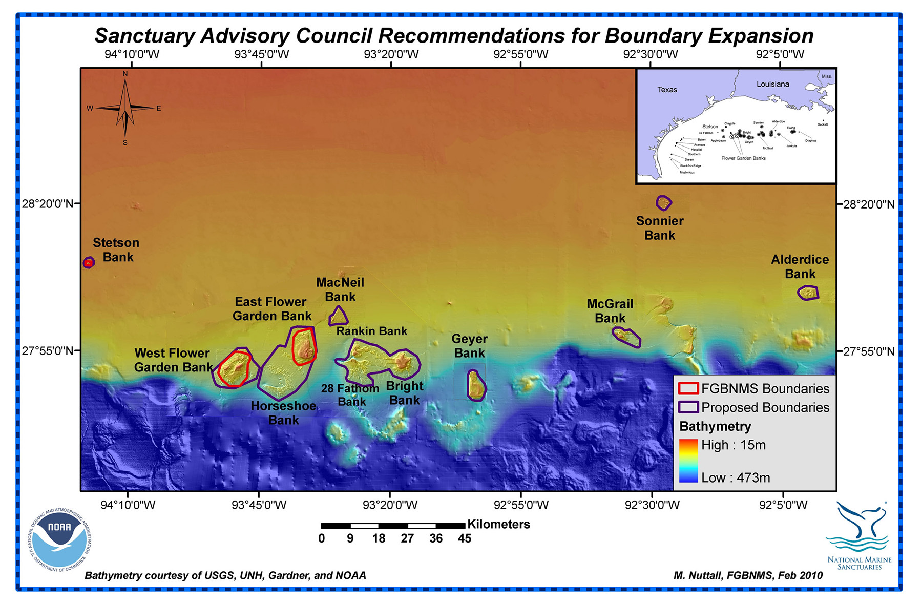
Expansion of the sanctuary emerged as one of the top priority issues during a comprehensive review of the Flower Garden Banks National Marine Sanctuary (FGBNMS) management plan. As a result, Sanctuary Expansion was one of six action plans included in the resulting management plan published in April 2012.
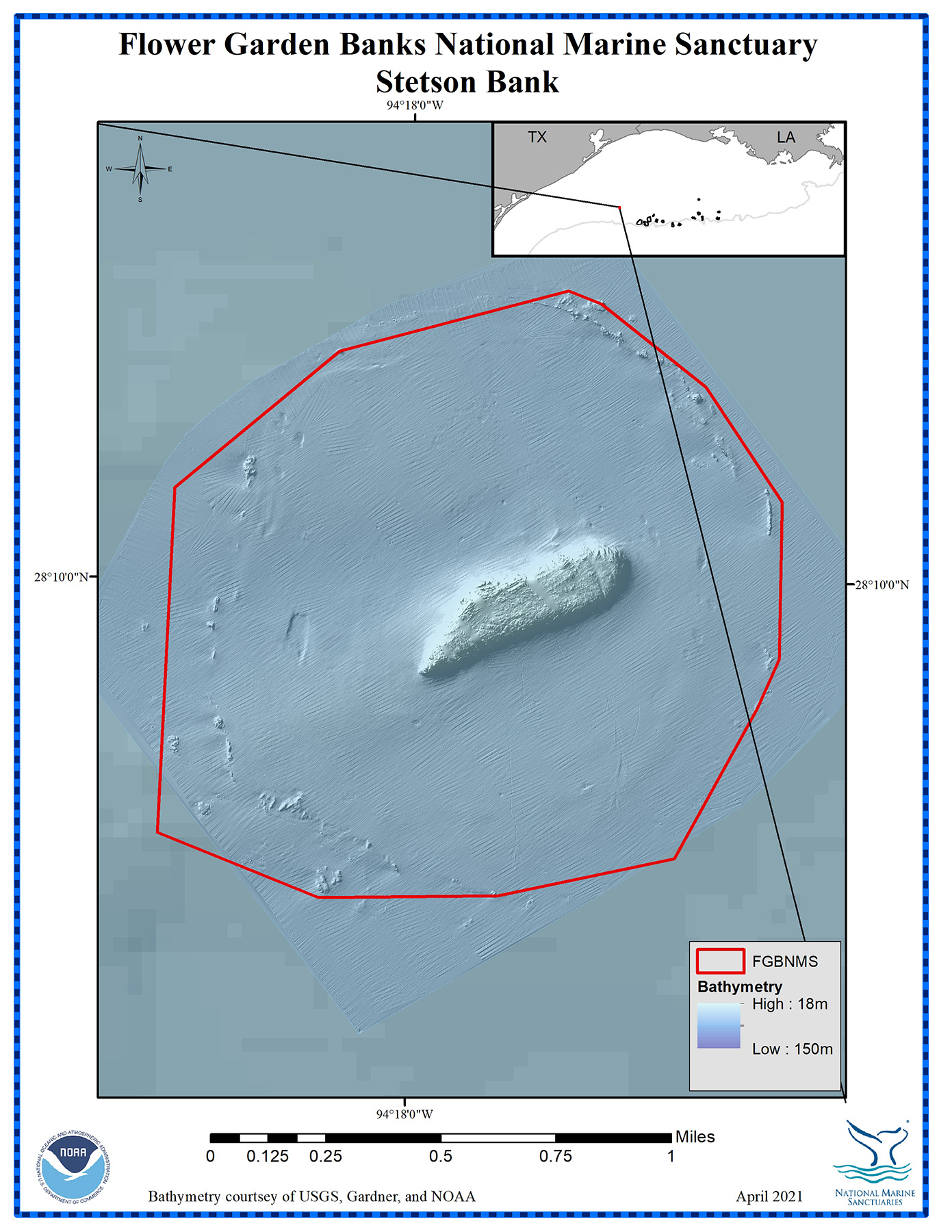
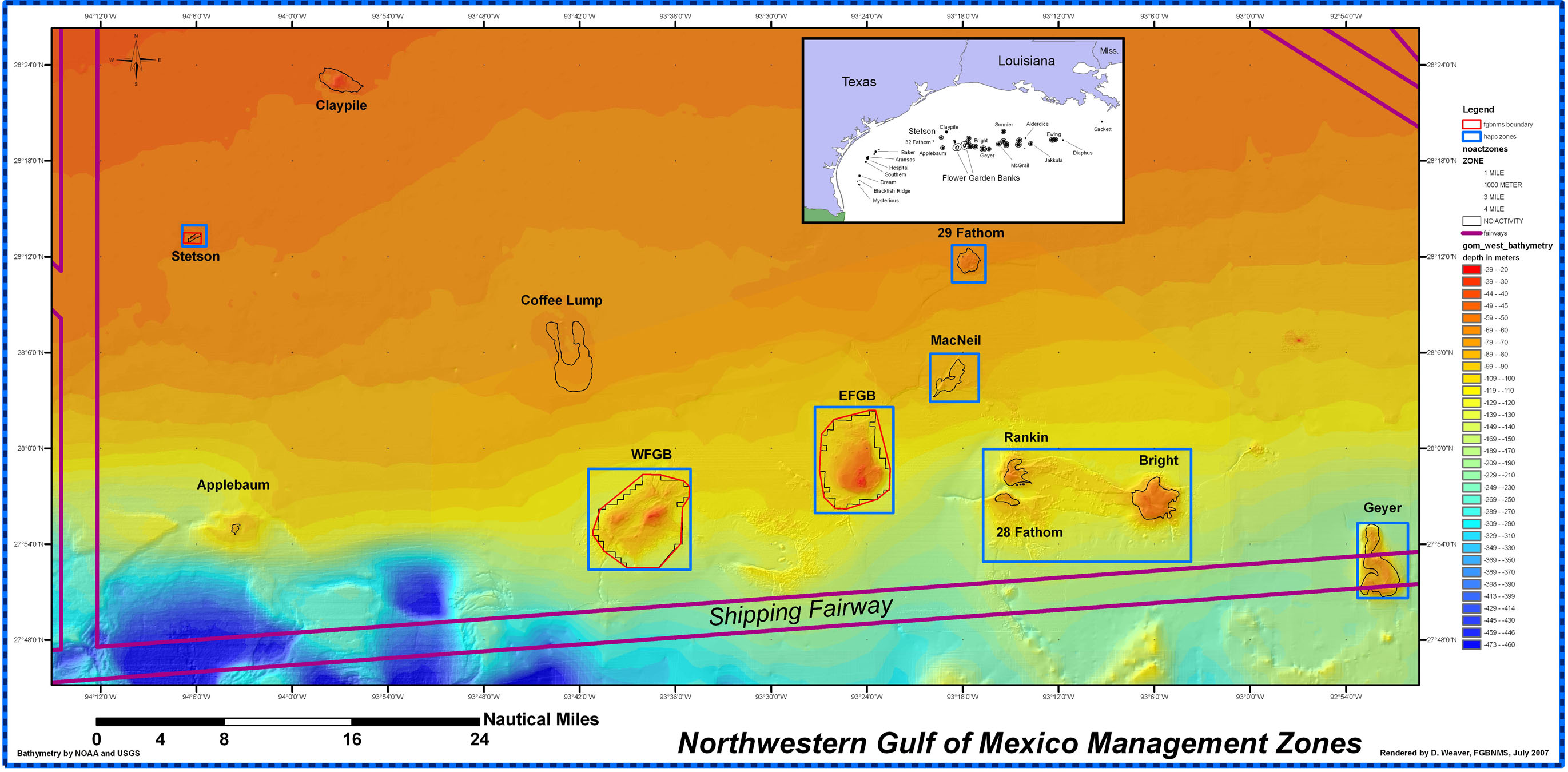
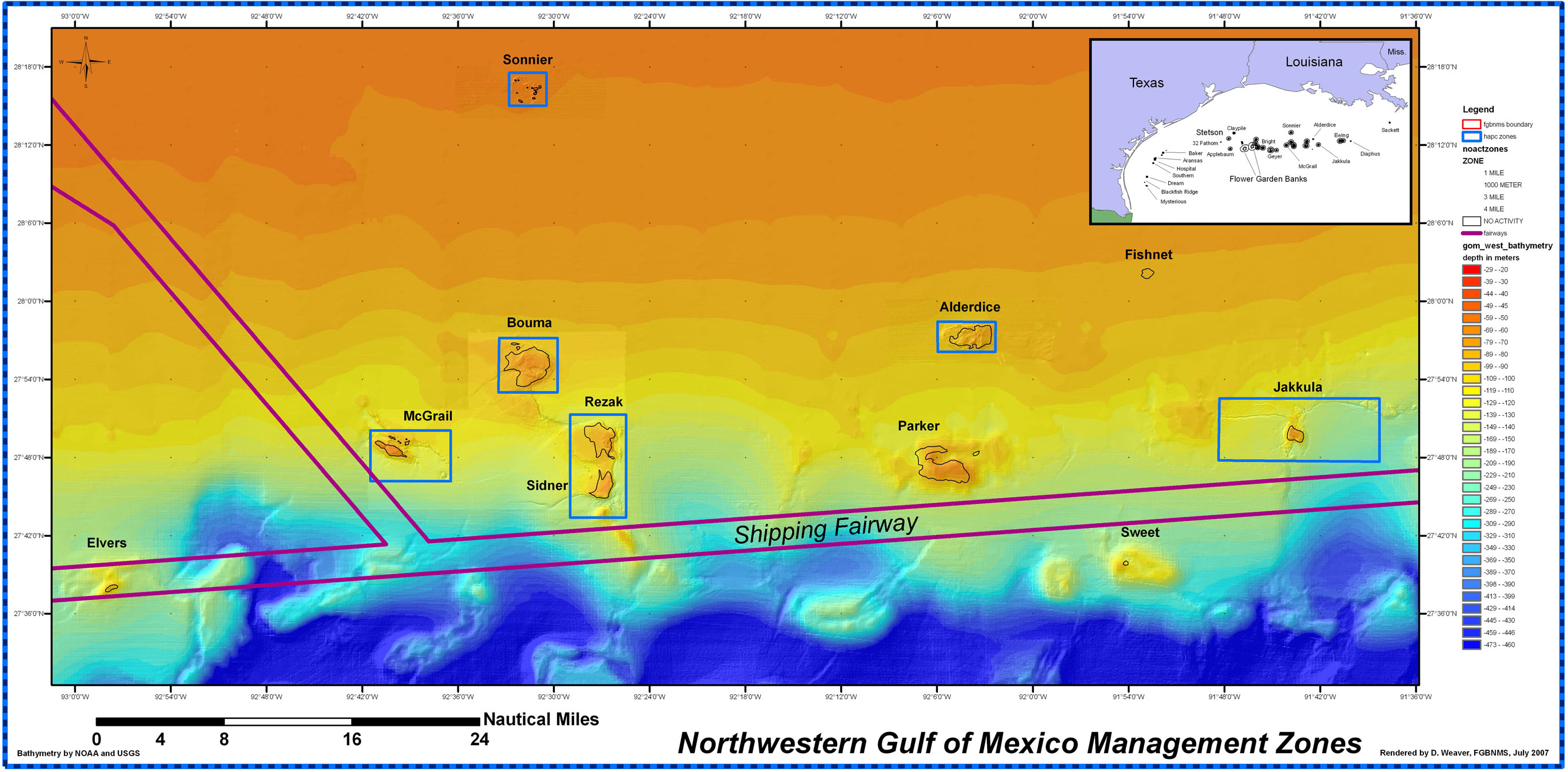
When FGBNMS was designated in 1992 and Stetson Bank was added in 1996, the boundaries were established based on best available information regarding biologically sensitive habitats. Subsequent advances in technology have revealed sensitive habitats between East and West Flower Garden Banks and around Stetson Bank that were not included within the original sanctuary boundary.
Additional exploration in the northern Gulf has identified other reefs and banks that may be ecologically linked to FGBNMS and may also be highly vulnerable to certain human impacts. Although many of these areas have some level of protection through other designations, inclusion in the sanctuary would provide a more comprehensive management framework to fill in the existing regulatory gaps and provide protection to these critical habitats.
On May 9, 2012, the Flower Garden Banks Sanctuary Advisory Council unanimously recommended implementation of the Sanctuary Expansion Action Plan as soon as possible.
Scoping Meetings/Comments
NOAA accepted public comments through Regulations.gov, by mail, and in person during public scoping meetings held in New Orleans, LA, Houston, TX, and Galveston, TX.
Although the public comment period has closed, all of the submitted comments may still be viewed at www.regulations.gov under docket number NOAA-NOS-2014-0154.